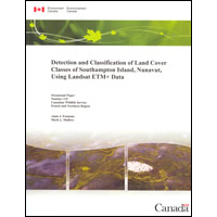
Detection and classification of land cover classes of Southampton Island, Nunavut, using Landsat ETM+ data / [by] Alain J. Fontaine, Mark L. Mallory. : CW69-1/119E

The purpose of this project was to generate a detailed baseline habitat map of the distribution and abundance of the various land cover types that comprise Southampton Island.
Permanent link to this Catalogue record:
publications.gc.ca/pub?id=9.620210&sl=0
| Department/Agency | Canadian Wildlife Service. |
|---|---|
| Title | Detection and classification of land cover classes of Southampton Island, Nunavut, using Landsat ETM+ data / [by] Alain J. Fontaine, Mark L. Mallory. |
| Series title | Occasional paper - Canadian Wildlife Service0576-6370No. 119 |
| Publication type | Series - View Master Record |
| Language | [English] |
| Other language editions | [French] |
| Format | Paper |
| Note(s) | Incorrect catalogue number (En84-86/2011E) printed in this publication. |
| Publishing information | Yellowknife - Northwest Territories : Environment Canada. July 2011. |
| Binding | Softcover |
| Description | 104p. : maps, tables, photographs ; 28 cm. |
| ISBN | 978-1-100-19086-0 |
| ISSN | 0576-6370 |
| Catalogue number |
|
Request alternate formats
To request an alternate format of a publication, complete the Government of Canada Publications email form. Use the form’s “question or comment” field to specify the requested publication.- Date modified: