
Atlas of tidal currents - St. Lawrence Estuary from Cap de Bon-Désir to Trois-Rivières: Fs72-33/1-2008
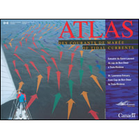
Shows the surface currents of the St. Lawrence Estuary between Cap de Bon-Désir and Trois-Rivières, where the tides and the freshwater outflow dominate the circulation. Presents currents produced by tides and the river flow in a typical summer, but does not account for wind-driven currents.
Permanent link to this Catalogue record:
publications.gc.ca/pub?id=9.668325&sl=0
| Department/Agency |
|
|---|---|
| Title | Atlas of tidal currents - St. Lawrence Estuary from Cap de Bon-Désir to Trois-Rivières |
| Publication type | Monograph |
| Language | Bilingual-[English | French] |
| Format | Physical text |
| Parallel description | [French] |
| Publishing information |
|
| Binding | Spiral binding |
| Description | xx, 108p. : figs., references, tables, photographs ; 28 cm. + A plastic navigational ruler. |
| ISBN | 978-0-660-63360-2 |
| Catalogue number |
|
| Edition |
|
| Subject terms |
Request alternate formats
To request an alternate format of a publication, complete the Government of Canada Publications email form. Use the form’s “question or comment” field to specify the requested publication.Page details
- Date modified: